

Looking for alternatives to Cybertiks? Explore our carefully curated list of similar tools that offer comparable features and functionality. Whether you need a free option, better team collaboration features, or different pricing models, we've got you covered.
Looking for alternatives to Cybertiks? Explore our carefully curated list of similar tools that offer comparable features and functionality. Whether you need a free option, better team collaboration features, or different pricing models, we've got you covered.
Compare key features side by side
| Tool |
Cybertiks
Original
|
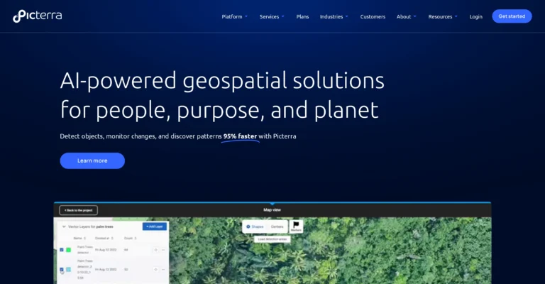
Picterra
|

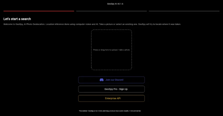
GeoSpy
|

Satlas
|

FlyPix
|

Mapwith.ai
|
|---|---|---|---|---|---|---|
| Pricing |
$192/month
Monthly
|
Free Trial
|
Free
|
No Pricing
|
$55.19/month
Monthly
|
No Pricing
|
| Rating |
N/A
|
N/A
|
N/A
|
N/A
|
N/A
|
N/A
|
| Popularity |
0
|
0
|
0
|
0
|
0
|
0
|
| Key Features |
Remote sensing and…
Harnesses satellite and…
Precise agricultural analysis
+34 more
|
Cloud-based platform
Geospatial solutions
Object detection
+38 more
|
In-depth geospatial data…
Complex task handling
Satellite imagery analysis
+14 more
|
-
|
Advanced geospatial analysis
Tool for object…
Works with global…
+17 more
|
Quickly maps using…
Tag-cycling feature
Built-in integrity checks
+14 more
|
| Actions |
Need more detailed comparison? View individual tool pages for complete information.
View All Alternatives →
Explore Earth's changes through AI-analyzed satellite imagery.

Get detailed information, pricing, features, and user reviews.